Minister Julian Popov approved the methodology for mapping and determining dune types and boundaries
20 Jan, 2024 | 10:12
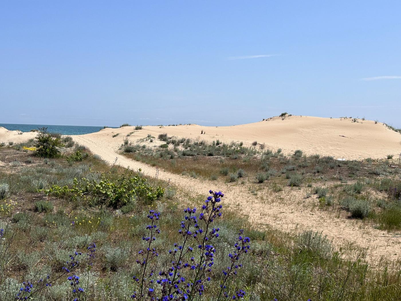
The regulation will protect sand formations and ensure objective, impartial and science-based reporting in specialised maps.
The Minister of Environment and Water Julian Popov approved the Methodology for mapping, determining sand dune types and boundaries for the creation and maintenance of the specialized maps and registers of the sites under Article 6, paragraphs 4 and 5 of the Black Sea Coast Act.
The introduction of such a unified methodology is an important step towards ensuring objective, impartial and science-based reporting of the areas occupied by sand dunes in the specialised maps. With the regulation, the MOEW aims to ensure the protection of these natural sites and to put an end to violations of the law that lead to their damage.
The methodology was developed with the assistance of the Institute of Oceanology and the Institute of Biodiversity and Ecosystem Research at the Bulgarian Academy of Sciences and was peer-reviewed by two scientists from Sofia University "St. Kliment Ohridski". The document integrates scientific knowledge and methods with the needs of the administration for the proper implementation of legislation related to the identification and protection of sand dunes.
For the development of the methodology, summaries of the most important scientific sources regarding coastal geomorphology and phytocenological characteristics of dunes, both at international and national level, were made. The bibliography of the methodology includes almost one hundred scientific publications. Existing information on the vulnerability of dune habitats, especially from increasing anthropogenic pressures in coastal areas, as well as different institutional efforts and problems in their study and conservation are also reviewed.
The methodology is also consistent with the requirements for large-scale mapping, the procedures proposed in it are up-to-date and can scientifically demonstrate the presence, extent, and characteristics of dune topography.
The methodology for mapping and determining sand dune types and boundaries, in accordance with Article 11(2) of Ordinance No 1 of 16 September 2008 on the creation and maintenance of specialised maps and registers of the sites referred to in Article 6(4) and (5) of the Black Sea Coast Act, can be viewed here.